Learning objectives
- Locate selected U.S. states on an outline map
- Use neighbouring states and coastlines as location clues
- Distinguish map position from the physical size of a place
Geography — United States · Interactive state-location map
Build spatial recognition of U.S. states by connecting state names with their positions and neighbouring shapes on a map.
Landscape activity · use fullscreen on a phone for larger controls
Learning focus: Build spatial recognition of U.S. states by connecting state names with their positions and neighbouring shapes on a map.
 Add Pyramid
 is a mathematics puzzle where each block is built from the sum of two blocks below it. Students practice ad…
View Details
Play
Free Activity
 Physics Balancer 2: Torque Balance Simulation
Physics Balancer 2 is a torque and lever-balance simulation. Students place masses at different positions and observe h…
View Details
Play
Free Activity
 Animals and Food
 is a matching activity for early learners. Students connect animals with the food they commonly eat, s…
View Details
Play
Free Activity
 Cardoku Card Matrix Puzzle
Cardoku is a card-matrix puzzle inspired by Sudoku-style reasoning. Learners arrange face cards so that rows, columns, …
View Details
Play
Free Activity
 Math Maze from 1 to 16
 introduces young learners to number order through a simple maze challenge. Children follow the c…
View Details
Play
Free Activity
 Hindi Letter Discovery
 is a recognition activity that helps students find missing or target Hindi letters. It supports …
View Details
Play
Free Activity
 US Interactive Map
 is a geography learning activity that lets students explore states and related information through h…
View Details
Play
Free Activity
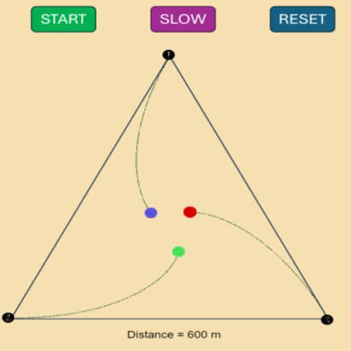 Convergence Chase Simulation
 explores a classic pursuit problem where moving points continuously chase one another. Stu…
View Details
Play
Free Activity
 Speak Guess Number
 is a speech-based number guessing activity. The game selects a hidden number and the player uses spo…
View Details
Play
Free Activity
 Monte Carlo Pi Approximation Lab
 demonstrates how random sampling can estimate the value of pi. Students observe points…
View Details
Play
Free Activity
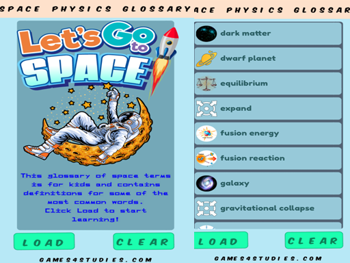 Glossary of Space Terms
 is a simple space vocabulary activity for students. It introduces common astronomy words and sh…
View Details
Play
Free Activity
 Alphabet Progression Sequencer
 develops logical thinking through ordered Hindi alphabet patterns. Students arrange rand…
View Details
Play





💭 Comments